Top of the World
Elevation: 2,080m
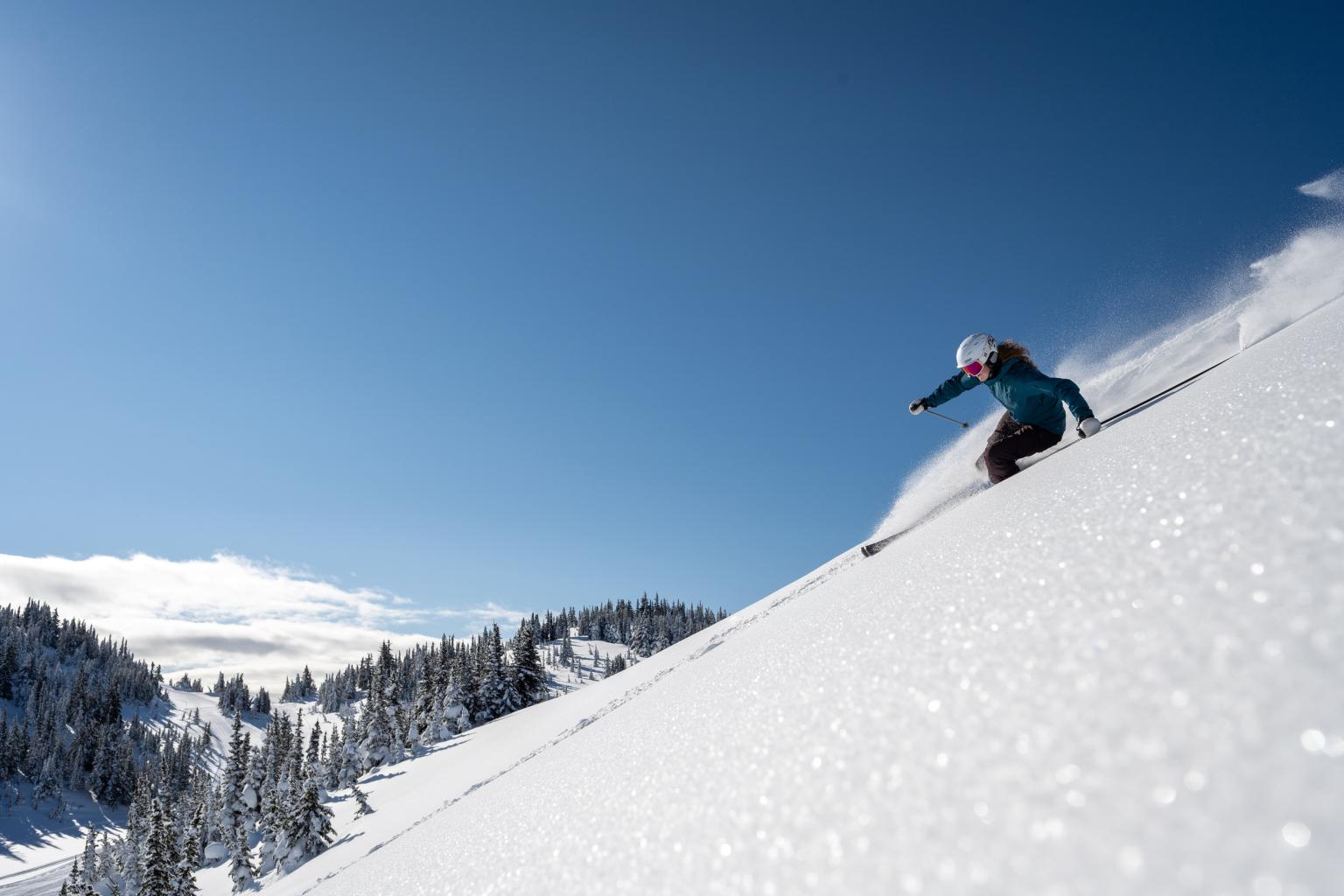
The Sun Peaks weather and snow report provides real-time conditions and forecasts based on data collected directly on the mountain. Weather observations and snowfall totals are recorded on-site, with forecasts produced specifically for Sun Peaks.
Periods of light snow ending by early afternoon. Further amounts 1-2 cm.
Elevation: 2,080m
Elevation: 1,855m
Elevation: 1,675m
Elevation: 1,255m
Updated January 29th at 11:42pm
*New snow data is reset at 3:30pm everyday after the lifts close.
Elevation: 2,080m
Elevation: 1,715m
Elevation: 1,494m
Thursday: Cloudy. Periods of light snow ending by early afternoon. Further amounts 1-2 cm. Wind SE 10-15 km/h except S 15-20 in the alpine. High near minus 1°C.
Thursday night: Cloudy. Light snow developing late this evening and overnight. Amounts 2-4 cm. Wind increasing overnight to SE 15-25 km/h. Low near minus 3°C.
Friday: Cloudy with a chance of morning flurries, mixed with rain showers on the lower slopes. Late afternoon/early evening flurries or showers. Snowfall amounts 1 cm with possible 1-2 cm more late in the afternoon. Wind SE 15-25 km/h easing to SW 10 in the afternoon. High near 0°C.
A frontal wave is moving through the Southern Interior this morning and then off to the east this afternoon. Some light snow associated will taper by early afternoon. The next frontal system well off the BC Coast this morning will sweep into the resort area later tonight through Friday morning. A trailing front is forecast to slide through our area later Friday afternoon and early evening with a few more flurries likely. Accumulations of 1-2 further cm are likely today and another 2-4 cm overnight. Wind at mid-mountain will be mostly southerly 10-15 km/h today and a little higher overnight and on Friday morning at SE 15-25 km/h.
Saturday to Monday: On Saturday an upper-level high pressure ridge will build with dry, mild and mostly cloudy weather. Similar weather on Sunday and Monday with a westerly flow aloft (there is a chance of passing showers or flurries later Saturday and again later Sunday). Temperatures will be on the mild side with highs near freezing at mid mountain. A touch cooler Monday.
A: Yes. This page provides the Sun Peaks weather forecast, using on-site observations and resort-specific forecasting rather than data from nearby communities.
A: Weather conditions and snowfall are measured directly at Sun Peaks, and forecasts are prepared specifically for the resort location.
A: Yes. Snowfall totals and snow conditions are tracked on the mountain and updated regularly throughout the day.