Top of the World
Elevation: 2,080m
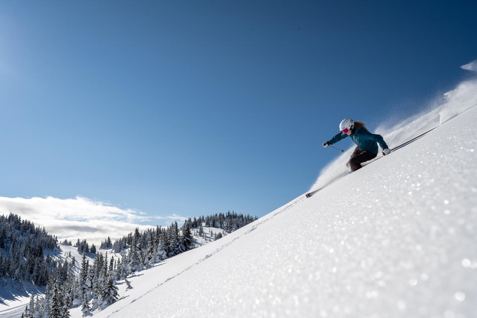
Check the Sun Peaks weather forecast with current real-time conditions, including temperature, wind speeds and air quality updates to plan your day accurately.
Elevation: 2,080m
Elevation: 1,855m
Elevation: 1,675m
Elevation: 1,255m
Elevation: 1,850m
Elevation: 1,730m
Elevation: 1,675m
Elevation: 1,255m
Elevation: 2,080m
Elevation: 1,715m
Elevation: 1,494m
The Air Quality Health Index (AQHI) measures and forecasts the health risks associated with local air quality using a scale from 1 to 10+.
For the latest health recommendations, please refer to the Government of Canada's Air Quality Health Index. Guests should consider their individual health circumstances before participating in outdoor activities.
A: Yes. This page provides the Sun Peaks weather forecast, using on-site observations and resort-specific forecasting rather than data from nearby communities.
A: Conditions are measured directly on the mountain using resort weather stations, providing highly accurate, location-specific data including temperature, wind and air quality.
A: Yes. During the winter season, snowfall totals and snow conditions are tracked on the mountain and updated regularly.